
GLASGOW — Severe weather could impact areas of the southcentral Kentucky region on Thursday and into the evening hours.
Colder air is expected to flood into the region on Thursday evening, according to the National Weather Service. Scattered snow showers are possible Friday. The weather system should clear the area by Saturday, they said.
Click here to stay up to date with the weather in Glasgow and Barren County.
Rainfall amounts between a quarter and 1 inch are expected. Some localized amounts could be more than 1 inch and nuisance flooding is possible. Widespread flooding is not expected, according to a social media post by the National Weather Service office in Louisville. Parts of central Kentucky such as Hart County through Fayette County could see more rain.
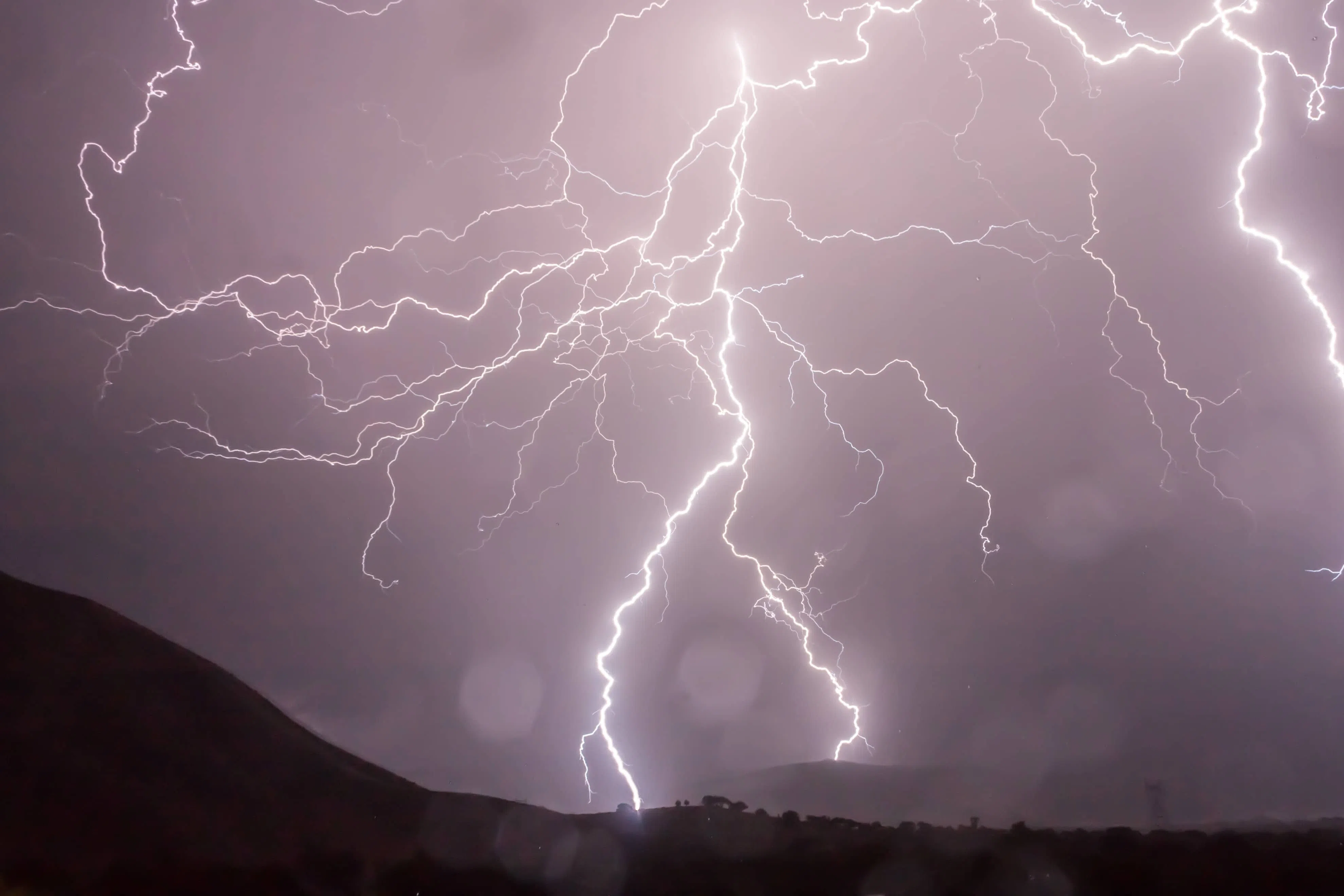
A marginal threat exists for severe weather early Thursday and Thursday afternoon. Threats for isolated tornado and hail are mainly in the morning while isolated damaging winds are expected in the afternoon.
Temperatures are expected to drop Thursday night, which also means some areas may see small amounts of snow.