


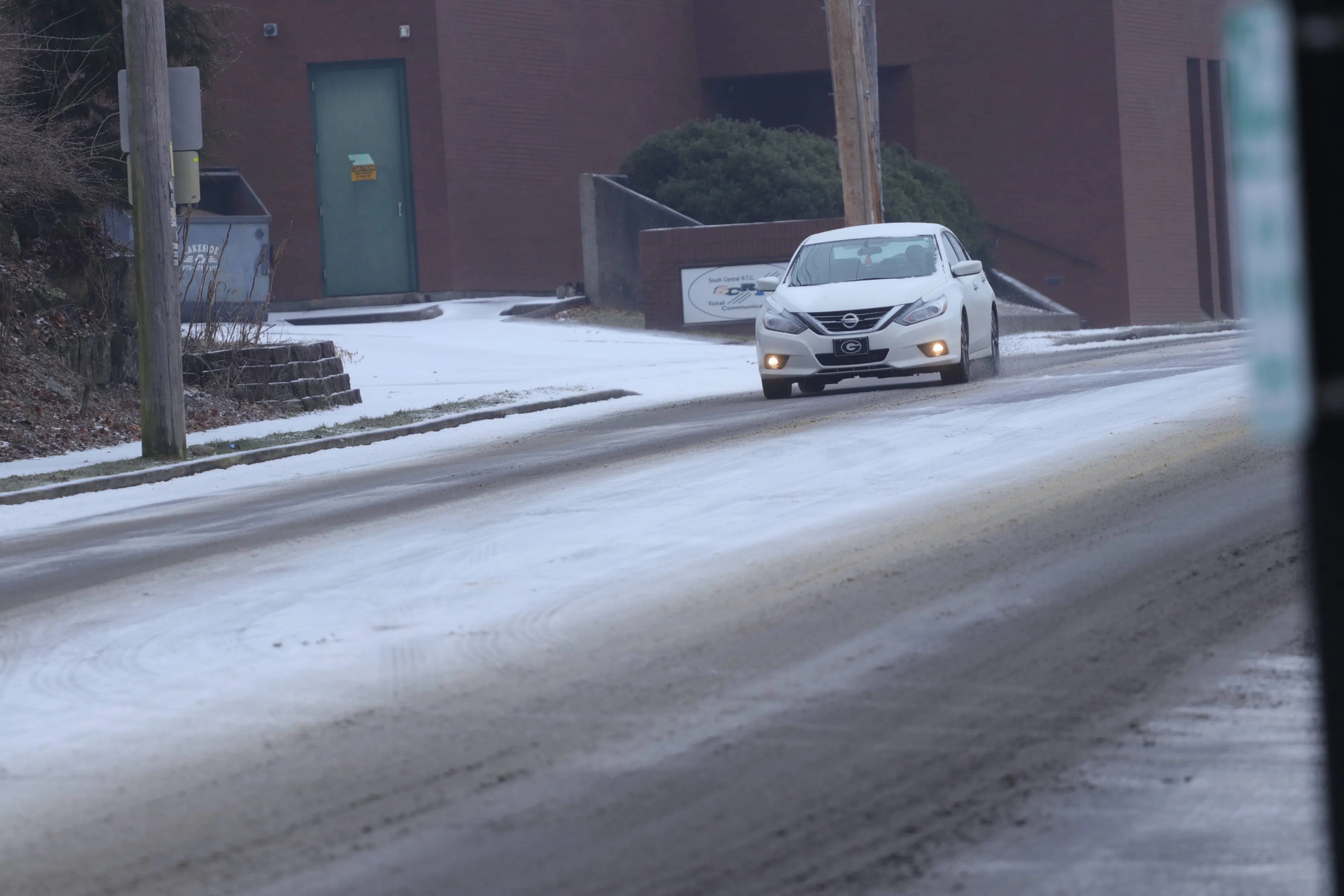
A car travels along West Main Street in Glasgow during a period of wintry weather Monday, Feb. 15, 2021.
(BRENNAN CRAIN/WCLU NEWS)
GLASGOW — A winter storm warning was issued around 1:30 Wednesday afternoon for most of central Kentucky.
Winter weather is expected to impact the region beginning Thursday afternoon.
The National Weather Service reports the strongest snowfall is expected during the afternoon and early evening Thursday. Areas east of Interstate 65 and south of the Bluegrass Parkway are expected to see the most accumulation.
Affected counties include Adair; Allen; Barren; Boyle; Casey; Clark; Clinton; Cumberland; Edmonson; Garrard; Green; Hart; Lincoln; Madison; Marion; Metcalfe; Monroe; Russell; Simpson; Taylor; and Warren.
The warning is in effect from 9 a.m. to 9 p.m. CST Thursday.
Total snow accumulations of three to five inches are expected. Local amounts may be higher.
The weather impacts are expected to begin early to mid-morning Thursday. The peak of snow fall is expected from noon to 6 p.m. Evening commutes could be hazardous.
The NWS advises folks to keep an extra flashlight, food and water in vehicles if they must travel. A blanket or something to keep to warm is also advised to be kept in vehicles.
Kentucky Road Conditions can be followed here via the Kentucky Transportation Cabinet.
Download the WCLU app for additional coverage. Report closings and other delays to wcluradio.com/closings.


